Vancouver Island is bigger than most visitors expect — around 460 kilometres end to end, with one main highway up the east coast and a handful of slow roads crossing to the west. Planning around the real drive times, and around the ferries, is most of what makes a trip here work.
Getting onto the Island
From Vancouver: Tsawwassen to Swartz Bay for Victoria, Horseshoe Bay to Departure Bay or Tsawwassen to Duke Point for Nanaimo. Each sailing is roughly 100 minutes plus terminal time.
Reserve a vehicle space in summer and on long weekends. Without a reservation you are queueing for whichever sailing has room.
Floatplanes and helicopters connect downtown Vancouver with Victoria and Nanaimo in about 35 minutes. Flights land at Victoria, Nanaimo and Comox from across Canada.
Realistic drive times
Victoria to Nanaimo: about 1 hour 45 minutes.
Nanaimo to Parksville: 25 minutes. Parksville to Courtenay: about 1 hour.
Courtenay to Campbell River: 45 minutes. Campbell River to Port Hardy: about 3 hours.
Nanaimo to Tofino: about 3 hours via Port Alberni, on a winding highway with few services after Port Alberni.
Victoria to Port Renfrew: about 2 hours on Highway 14, slower than the distance suggests.
A week-long loop
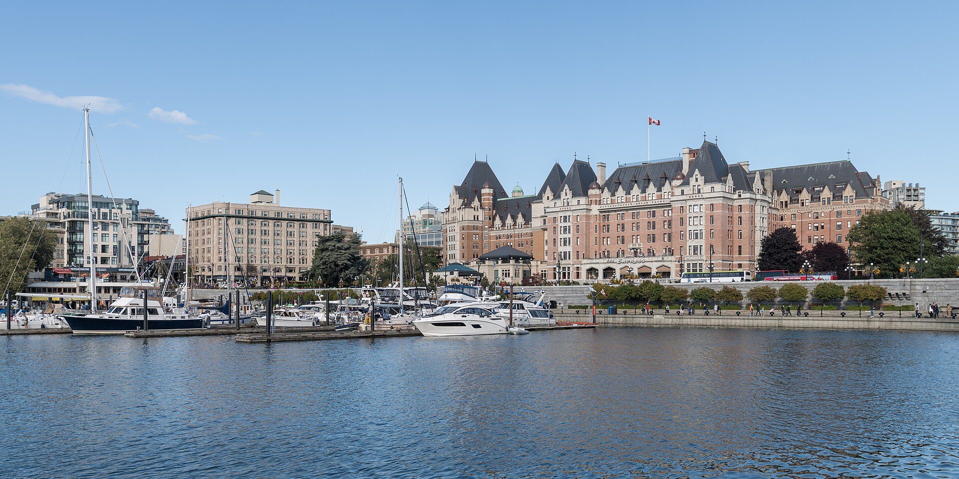
Days 1-2, Victoria: the Inner Harbour, a garden, the Dallas Road waterfront.
Day 3, west to Sooke and the Juan de Fuca beaches, or north to the Cowichan Valley for wineries and farms.
Day 4, Nanaimo and Parksville: Newcastle Island, Rathtrevor Beach, Cathedral Grove on the way west.
Days 5-6, Tofino and Ucluelet: Long Beach, the Wild Pacific Trail, a boat trip.
Day 7, back east to the Comox Valley or Campbell River for Strathcona Park before heading home.
The crossings you might not expect
The Gulf Islands, Denman, Hornby, Quadra, Cortes and Gabriola all need their own ferries, some of them two in a row. Check the schedule before committing to a day trip.
Smaller routes run less often in winter and fill up in summer.
Driving conditions
The Malahat, between Victoria and Duncan, is the weather pinch point: steep, occasionally snowy in winter and prone to closures after a crash, with no realistic detour.
Highway 4 to Tofino is narrow and mountainous and can close for slides or fire. Check DriveBC before setting out.
British Columbia requires winter tyres on many highways from October to March, including several Island routes.
Fuel, groceries and mobile coverage all thin out north of Campbell River and west of Sooke. Fill up when you can.
Common questions
- How long does it take to drive across Vancouver Island?
- Victoria to Port Hardy, the full length, is about nine hours of driving. Most visitors cover Victoria to Campbell River, roughly four hours, and add the Tofino detour.
- Do you need a car on Vancouver Island?
- Outside Victoria, yes. Bus services between towns exist but are infrequent, and most beaches, trails and parks have no transit at all.
- Should you book the ferry in advance?
- In summer, on weekends and on holidays, yes — vehicle reservations sell out. Off-season midweek you can usually turn up and wait for a sailing.